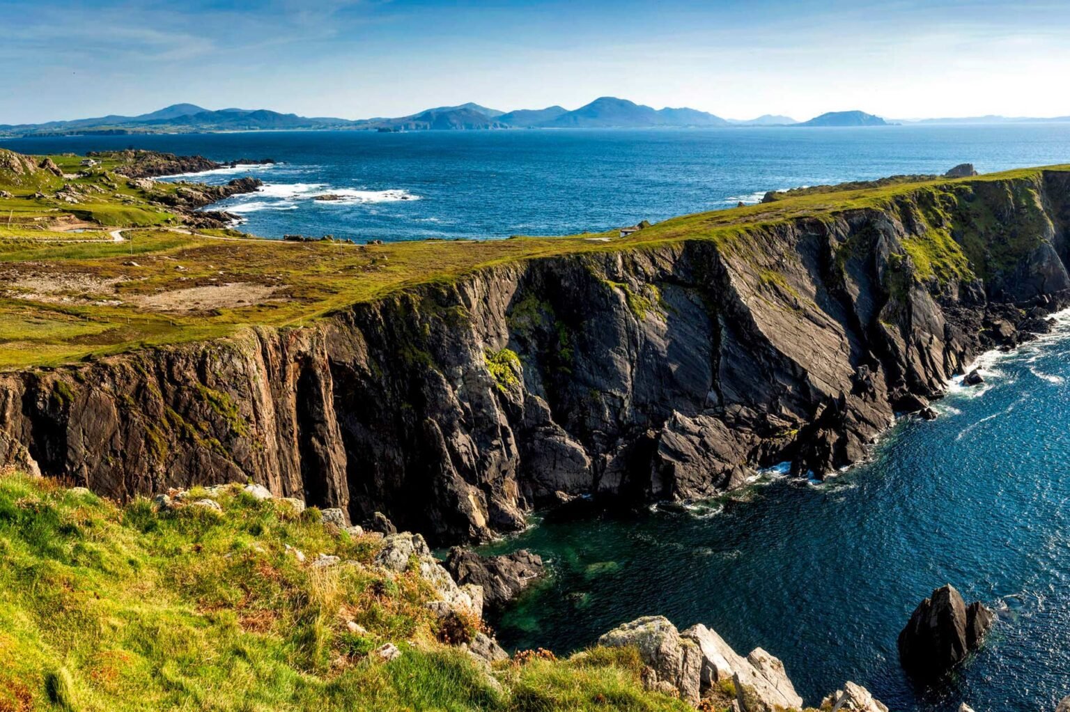
Discover the Wild Side of Ireland
Ireland’s Wild Atlantic Way spans along the west coast of the country, on the edge of Europe. It starts in Donegal’s Inishowen Peninsula and passes through Leitrim, Sligo, Mayo, Galway, Clare, Limerick, and Kerry before ending in Kinsale, County Cork. For simpler navigation, the route, which is almost 1600 miles (2600 kilometres) long, is broken into 14 stages…
1. Inishowen Peninsula
Muff to Letterkenny
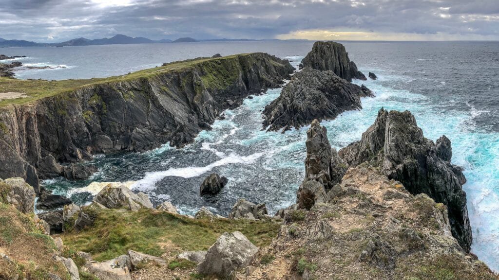
This section of the Wild Atlantic Way begins in the far north of Inishowen Peninsula and follows most of the “Inishowen 100” looping trip.
Lough Foyle upon the east, Lough Swilly on the west, and the Atlantic on the north edge Ireland’s biggest peninsula.
You’ll pass through beautiful beaches and breathtaking scenery in several spots. Malin Head, an isolated location, is the most northern point of mainland Ireland. At this most northerly location, the coastline reveals its rugged and jagged side, as well as the Atlantic’s drive to leave its mark on the country.
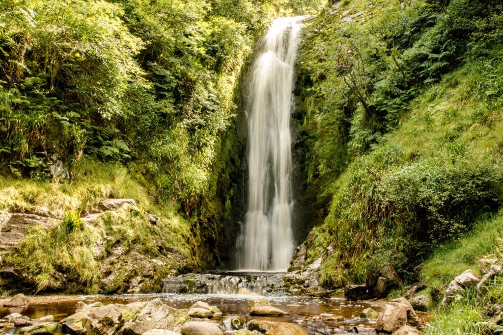
The road climbs sharply up to 240 m (800 ft) to a pass at the Gap of Mamore, where there is a spectacular panorama view of the entire northern coastline. The journey has begun! A 30 percent gradient can remind you of a downhill ski vacation in the Alps.
2. Fanad Head
Letterkenny to Bunbeg
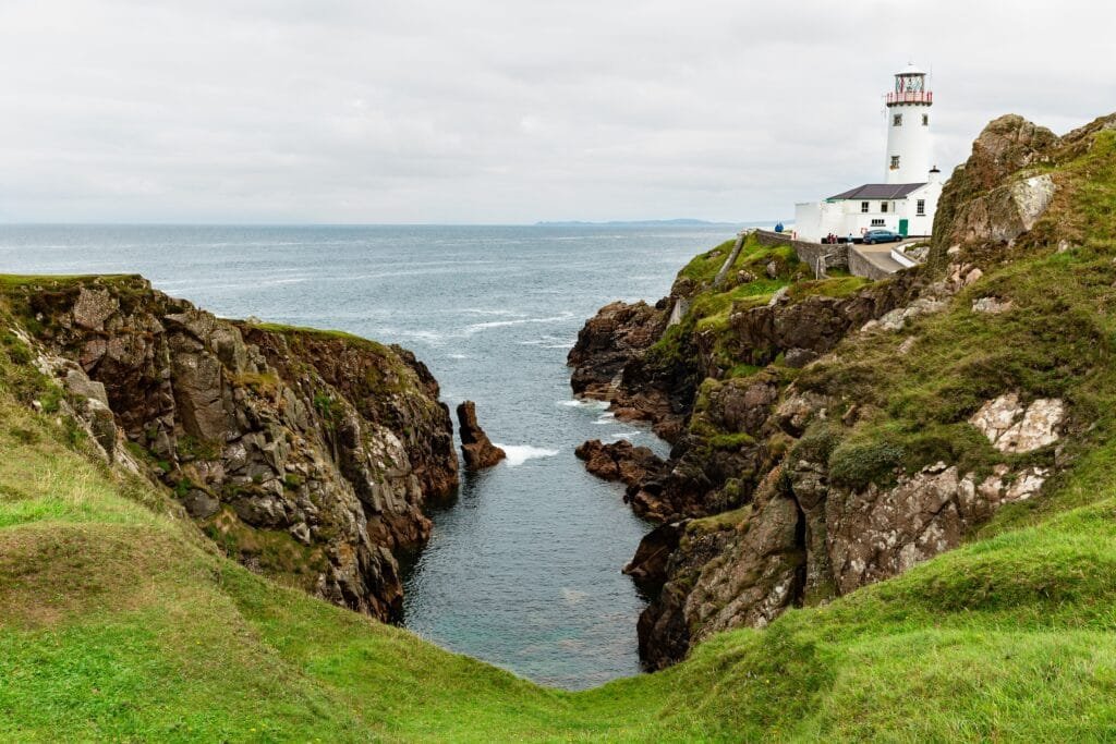
As you leave Letterkenny and go north along the banks of Lough Swilly, you are once again immersed in the solitude of the Donegal countryside. The Wild Atlantic Way gradually climbs up the ridges of Knockalla Mountain, providing spectacular views of Lough Swilly and Ballymastocker Bay. This bay is known for its three golden beaches, and the British journal “Observer” named it the world’s second most beautiful bay! The wonderful Lighthouse at Fanad Head stands tall above the Atlantic’s waves.
The Atlantic Drive on the Rosguill Peninsula is a magnificent segment of the Wild Atlantic Way. You can see how the interaction of nature’s components has been exposed for all to see here.
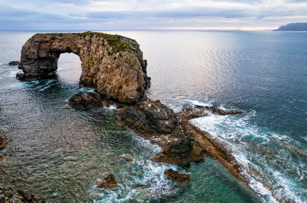
Horn Head is an even more stunning and untamed peninsula. The surrounding ocean’s force is visible in the strangely sculpted rocks. From the historic signal tower atop the cliffs, you can see Fanad Peninsula all the way to Tory Island. Tory Island, which is 14 kilometres off the shore, keeps the historic practice of electing a monarch alive.
3. The Slieve League Coast
Bunbeg to Donegal Town
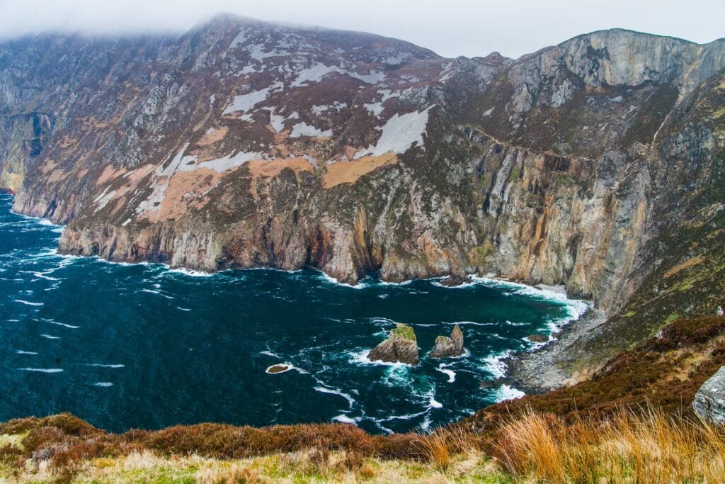
From Bunbeg, the Wild Atlantic Way stretches southward. The Rosses area, including its bogs and lakes, is a bizarre yet fascinating place to visit. Countless tiny islands dot the water, including Arranmore, Ireland’s second-biggest island.
Following Ardara, the Wild Atlantic Way takes a little detour away from the coast to cross the Glengesh Pass. Carrying on through Glencolumbkille, a quiet haven with numerous historic monuments, the path meanders over tiny coastal roads, unfolding beautiful vistas and terminating immediately above the unspoiled Silver Strand.
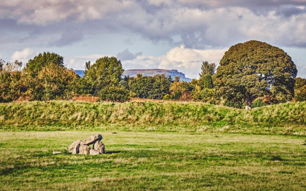
The steeply rising cliffs of Slieve League are among Europe’s tallest. They appear to be constantly changing their appearance, one minute concealed in a low-hanging cloud and the next displaying a brilliant majestic shining face.
4. Donegal Bay and Sligo
Donegal Town to Ballina

Mullaghmore Head is an excellent illustration of the Wild Atlantic Way’s beauty. The Atlantic is exhibiting its might on the west, while a beautiful beach and a gorgeous harbour nestle in the bay’s shelter on the east. From here, the boat to the mystical island of Inishmurray sails. A visit to the mediaeval monastic village will transport you to another time and place.
Now on to Yeat’s County, or as he once characterised it, “The Land of Heart’s Desire.” The Dartry Mountain range is located distant from the shore, whereas Ben Bulben, widely known as Ireland’s equivalent of the Table Mountain, rules over the ocean near the coast.
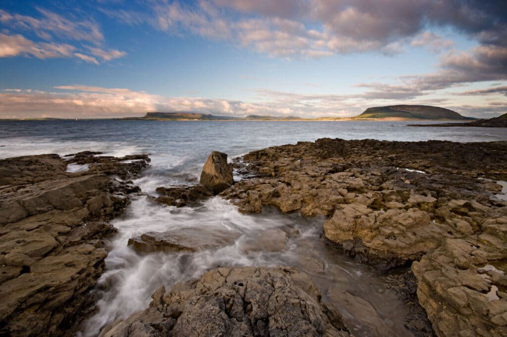
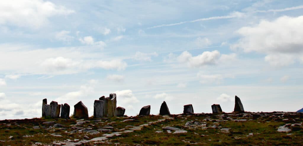
A magnificent mystical country with relics of the dark and distant past lies to the west of Sligo. At Carrowmore, you’ll find one of Europe’s largest and oldest megalithic funerary cemetries. Chamber tombs, ring forts, cairns, and passage burials may all be found on the site.
5. Erris
Ballina to Belmullet
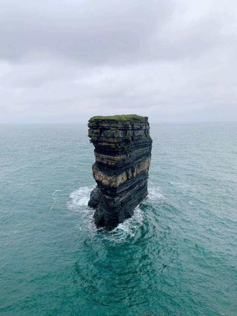
Downpatrick Head is located on one of the most beautiful areas of beach along the Wild Atlantic Way. The lone sea stack, Dn Briste, stands heroically in the raging Atlantic, 50 metres high. It’s a beautiful sight.
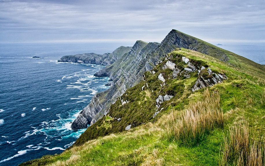
Many more awe-inspiring cliffs, a few over 100 metres high, may be seen among Downpatrick and Benwee Head.
The path continues on to the historic barony of Erris. The shoreline provides breathtaking vistas and sea cliffs once more. People speak Irish because it is a Gaeltacht region.
The Mullet Peninsula, a natural wonder, is entirely exposed on the Atlantic side, but is protected on the east by Blacksod Bay.
6. Achill Island and Clew Bay
Belmullet to Westport
Along the coasts of Granuaile’s realm, this portion of the Wild Atlantic Way takes us through “Pirate land.” Carraigahowley Castle (also known as Rockfleet Castle) is the residence of the Pirate Queen, and Kildavnet Castle on Achill Island are both worth seeing.
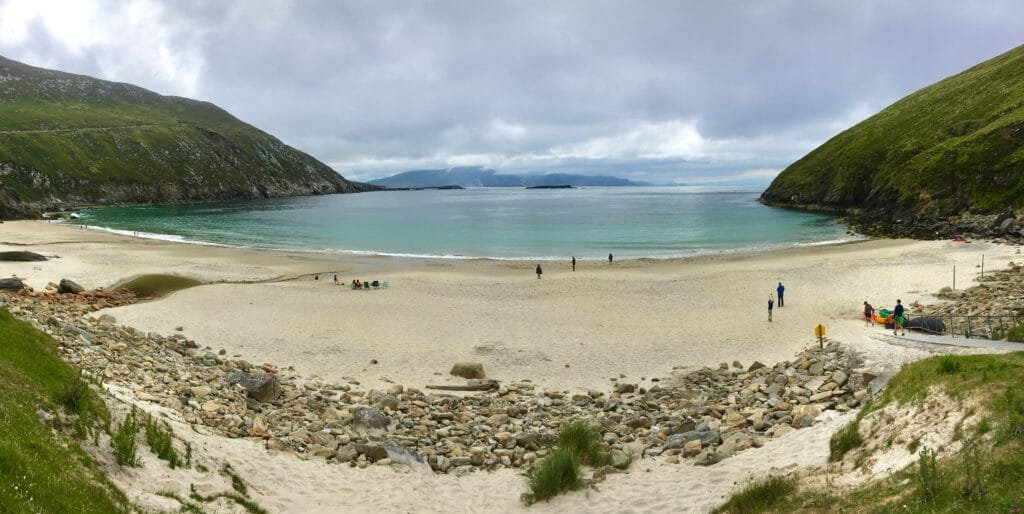
Achill Island is Ireland’s biggest island, with a bridge connecting it to the mainland. The island is a tiny version of Ireland’s west coast, with stunning mountains, clean lakes, vast bogs, extensive stretches of unspoiled sandy beaches, attractive settlements, and Ireland’s tallest sea cliffs. The Atlantic Dive runs along Achill’s south west coast and offers some of the best views of the Atlantic. The views of Clew Bay from this beachfront route along the cliff edge are spectacular. The quiet Keem beach on Achill’s west side is a sight to behold as you descend the cliff-top path.
Continuing on from Achill to Westport, you’ll travel through Clew Bay, which features 365 islands, one for each day of the year, according to legend. It’s no surprise that Grace O’Malley, the daring sea pirate, claimed this bay as her own.
7. Killary Harbour
Westport to Clifden
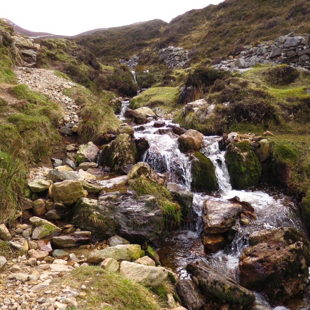
Incredible mountains take over the next stage. They first appear not far from leaving Westport and you will see Croagh Patrick, Ireland’s treasured mountain. Legend has it that St. Patrick fasted for 40 nights upon this mountain as well as banishing snakes away from Ireland. Evidence has been discovered that this mountain was of great importance during the pre-Christian era. A Celtic hill fort had been found surrounding the summit of Croagh Patrick.
Continuing onto the south the route follows through the valleys of Delphi and Doo Lough which leads to Ireland’s one and only fjord and this is Killary Harbour. Sheltered by beautiful green meadows extending 15km.
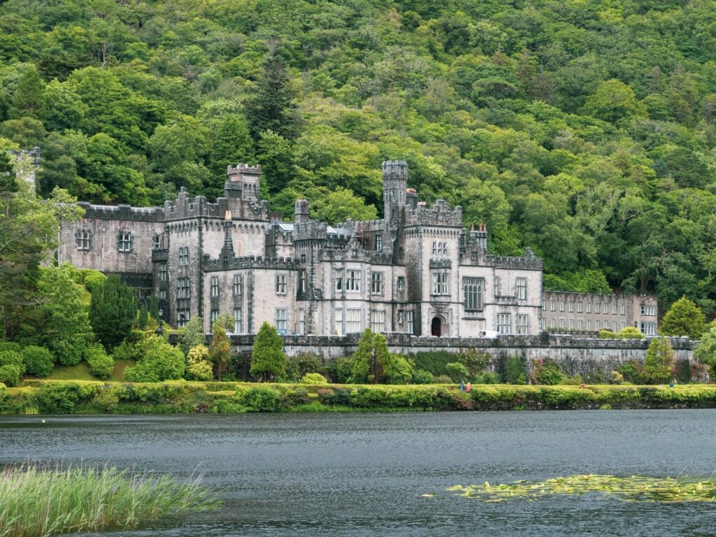
Mountain peaks, stunning sandy beaches with changing landscapes at Connemara National Park. Clifden is the capital of this area and Sky Road, named after the stunning views it has to offer of the Atlantic as well as islands away from the coast.
8. Connemara
Clifden to Galway
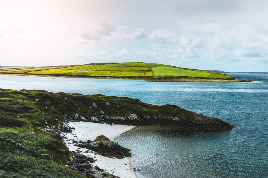
As the route continues along narrow roads that are surrounded by beauty with the Atlantic on one side as well as a rocky landscape and the beautiful Maamturk Mountains on the other. The winds around here can be strong with gusts coming from the ocean.
This region is also part of the Gaetacht. More than half of the Irish speakers in Ireland live around this area. The language and culture of Ireland are protected and cherished, particularly in this area.
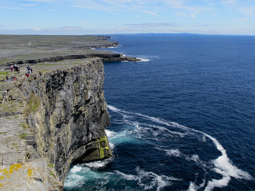
The ferry towards Aran Islands leaves from Rossaveal, otherwise you can take a plane out of the Connemara Regional Airport. The Aran Islands are known to be a place of tranquillity and beauty with their traditional lifestyle.
9. The Burren and West Clare
Galway to Kilkee
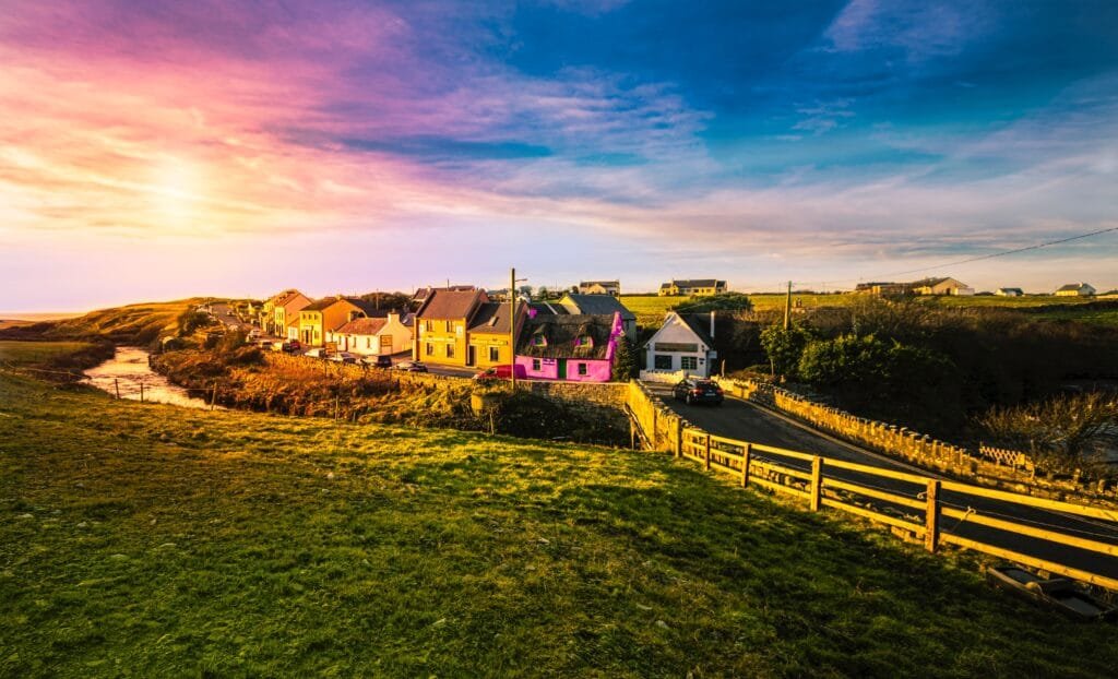
The first part of this phase of the Wild Atlantic Way makes you feel as if you’ve been transported to another planet. The terrain – this wonderful karst landscape – is the cause. The Burren’s undulating slopes are made up of limestone pavements. The Irish term “An Bhoireann” translates to “great rock,” and this describes this strange place perfectly.
The world-famous Cliffs of Moher are almost eight kilometres long and rise 214 metres above the vast Atlantic Ocean at their tallest point. When viewed from the ocean, they are very impressive.
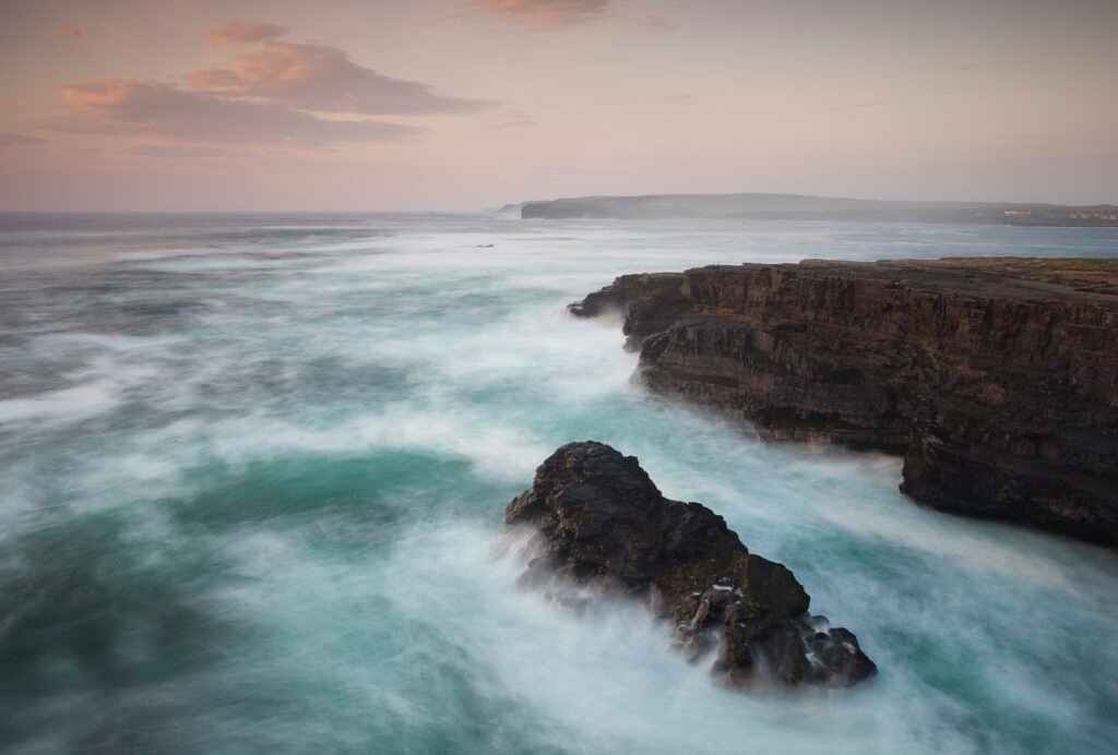
Kilkee, in the centre of West Clare, is not too far from spectacular cliffs. The Loop Head Drive leads you right up to the cliffs along Clare’s rugged coast. The 80-meter-high granite structures brace themselves against the raging Atlantic on a regular basis. Unlike the other prominent cliffs, there are no trinket stores to be found here!
10. The Shannon Estuary
Kilkee to Tralee
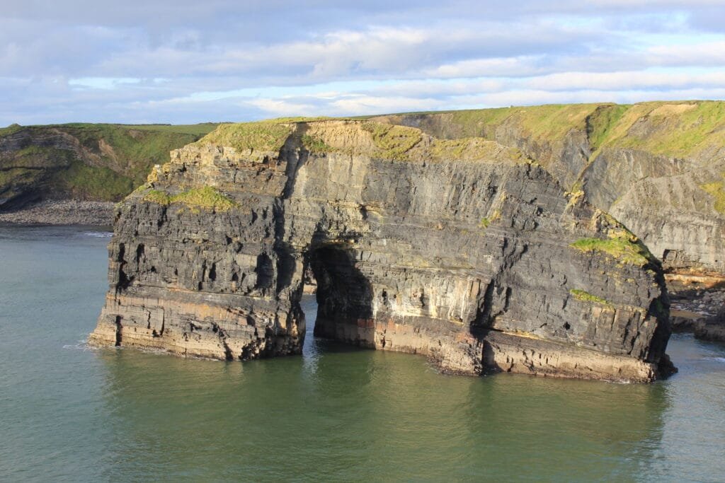
Many animal species may be found around the entrance of the Shannon, Ireland’s longest river. Dolphins, for example, live and reproduce here on a continuous basis.
People used to reside in the centre of the Shannon Estuary, namely on Scattery Island. From Kilrush, ferries go to the island. On the island, there are remnants of a monastery, a well-preserved round tower, a fortress, and an abandoned town.
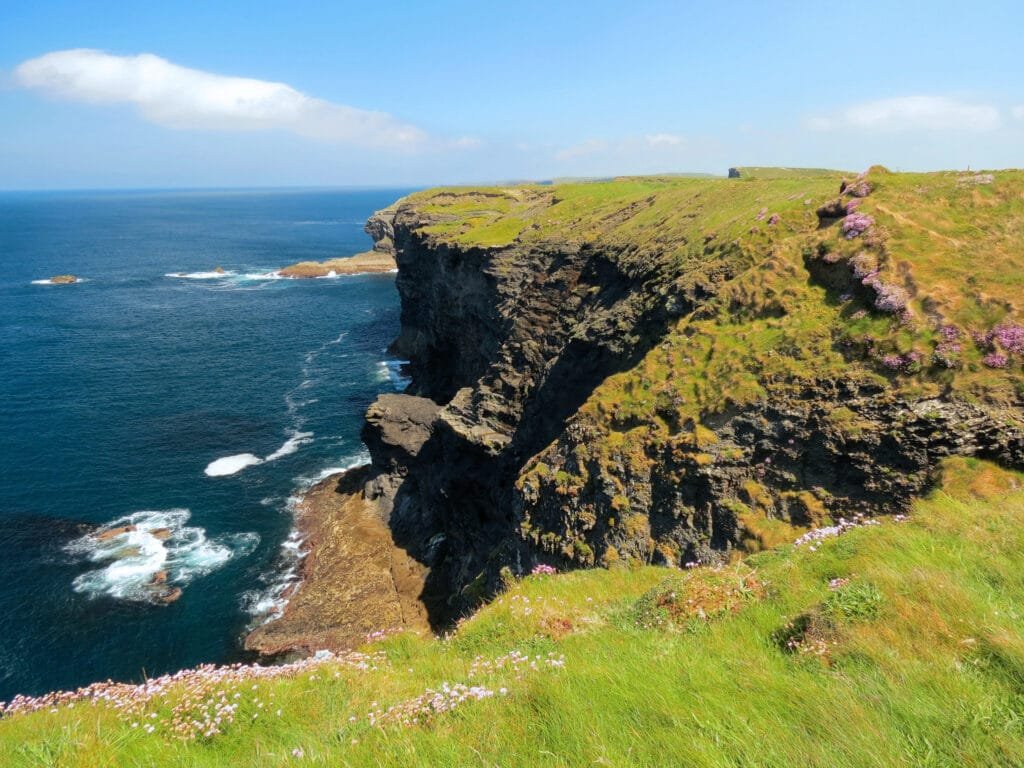
There is also a boat that spans the Shannon Estuary and takes you to Ballybunion, a popular tourist resort with towering cliffs and magnificent sandy beaches, where you may continue on to the Wild Atlantic Way along the stunning coast of North Kerry.
11. The Dingle Peninsula
Tralee to Castlemaine
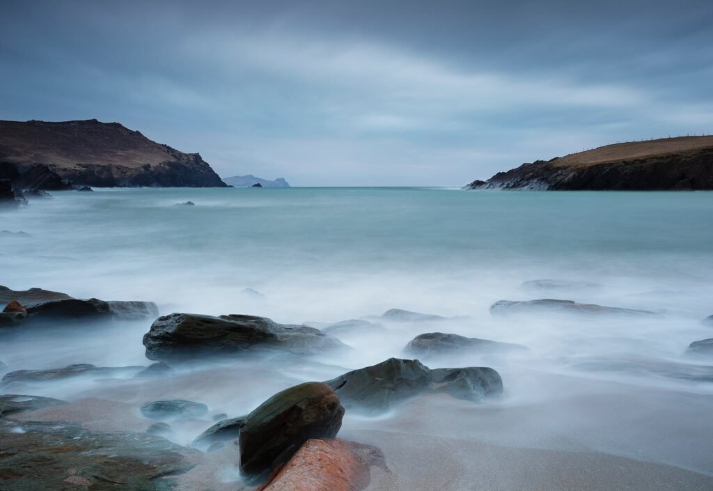
Both the north (around Castlegregory) and south (near Inch) of the Dingle Peninsula are endowed with never-ending sandy beaches.
The Wild Atlantic Journey passes via the Connor Pass, Ireland’s tallest mountain pass, on its way from Tralee to Dingle town. This stretch of road is an experience in and of itself. The winding, narrow road twists and turns, climbs and dips, but never fails to provide stunning views.
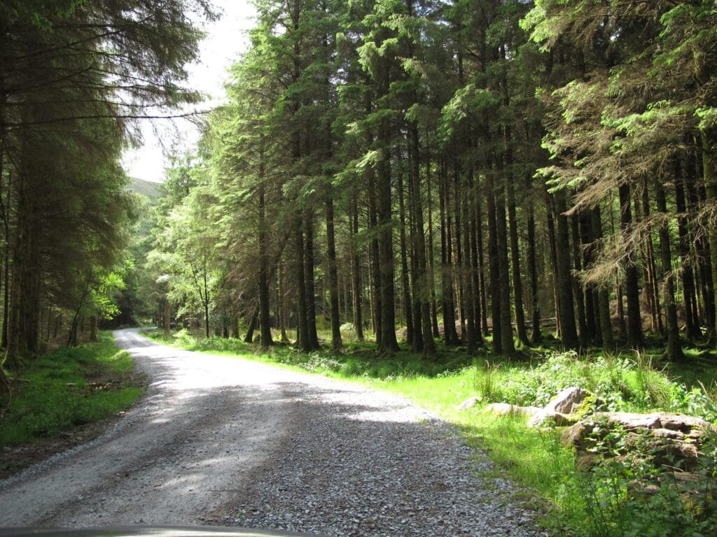
If you make it to Dingle, your next adventure should begin with their Slea Head Drive. Another Gaeltacht region is traversed on this route. This route passes through some of Ireland’s most beautiful landscapes. Another winding narrow road heads west along the sheer rocky shore. Off the shore are the Blasket Islands. An Bascaod Mór, the largest of the islands, is accessible by boat from Dunquin. Following the completion of the Slea Head trip, Mount Brandon, Ireland’s second tallest peak, can be seen looming over the landscape. Many Celtic as well as early Christian artefacts, including the Ogham Stones and Beehive Huts, as well as ecclesiastical structures such as the Gallarus Oratory and the monastery village of Reask, show that people have been living in this lovely region for almost 6,000 years.
12. Ring of Kerry
Castlemaine to Kenmare
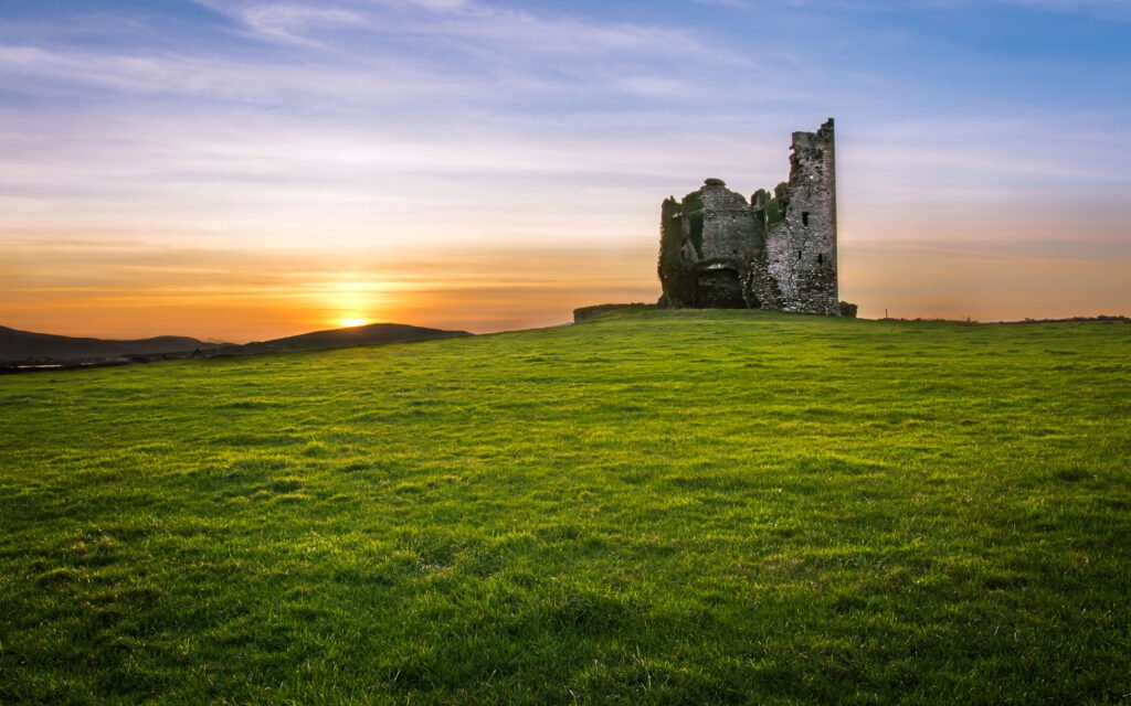
This area resembles the well-known Ring of Kerry. The “Ring” runs along the shore of Iveragh Peninsula and is the most popular tourist route to date.
The view is spectacular along the west coast of the Iveragh Peninsula. It’s as though you’ve walked into a storybook. Continuing through the Skellig Ring after leaving the “Ring.” Because this road is less travelled than the other “Ring,” you may drive at your leisure, avoid the crowds, and admire this unique picturesque route. The journey across Coonmaneaspig Pass and the coves, as well as beaches surrounding St. Finan’s Bay, are highlights, as is Valentia Island, which is joined to the mainland by a bridge at Portmagee.
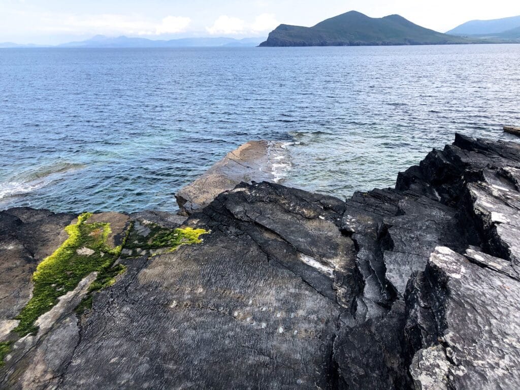
Boats sail from Portmagee or Ballinskelligs towards both Skellig Islands, that are 12 kilometres off the Kerry coast. In the great roaring Atlantic, the Skellig Islands, which are actually two extremely high rocky islands, stand defiantly. In the seventh century, a small community of monks lived on Skellig Michael, which rises to 217 metres. In 1996, UNESCO listed this monastery hamlet as a World Heritage Site. Little Skellig, a tiny island that is home to a variety of seabirds, features one of the world’s largest Northern Gannet colonies.
13. Beara and Sheep’s Head
Kenmare to Durrus
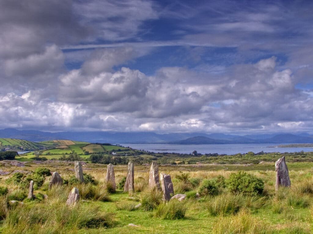
The Ring of Beara is a smaller ring road than the Ring of Kerry, with much less traffic. Furthermore, the roads are too small for buses and camper vans to pass through.
This section is breathtaking in terms of scenery as well as the style of life – traditional, welcoming, and in tune with nature. Time and time again, the indented shoreline and rugged mountains steal your breath away. Dursey Island, a stone’s throw out within the Atlantic, is linked to the mainland via Ireland’s single cable car. Both man and beast utilise the cable car, which takes around 10 minutes to go.
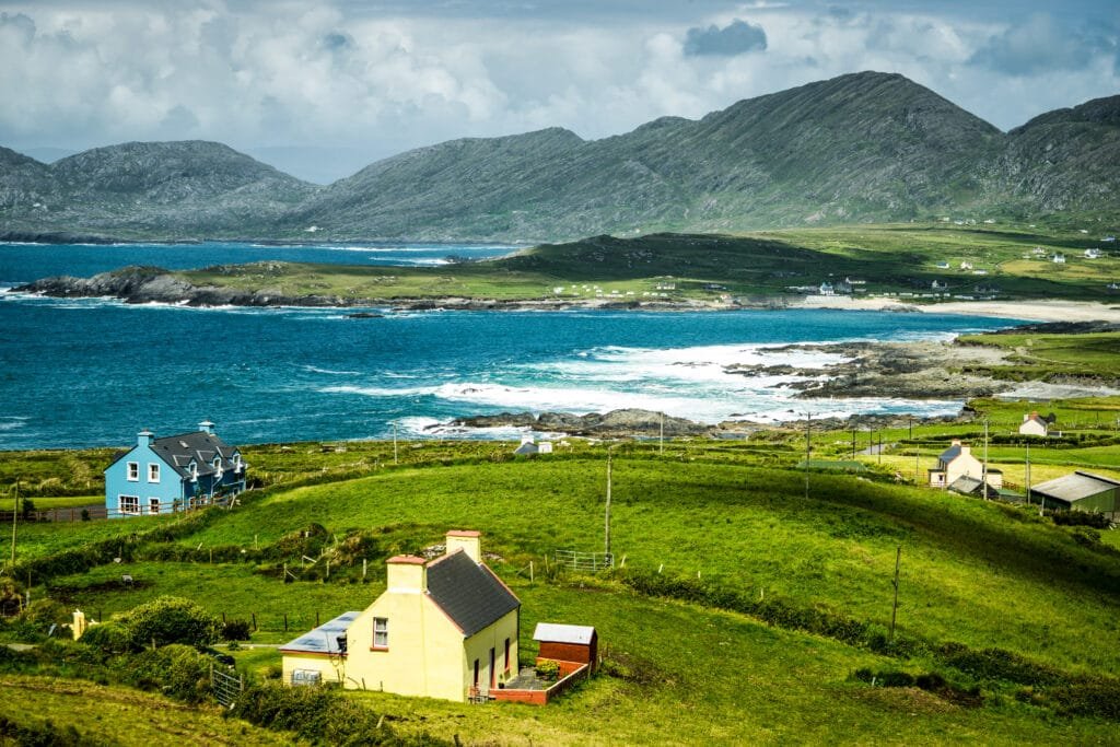
Sheep’s Head, in Bantry, is yet another peninsula that juts out into the sea. It’s a haven of exquisite tranquilly, unspoiled beauty, and serene surroundings. There is a path to a tiny lighthouse constructed into the rocks resembling an eagle’s nest at the peninsula’s furthest westerly point — the genuine Sheep’s Head.
14. West Cork
Durrus to Kinsale
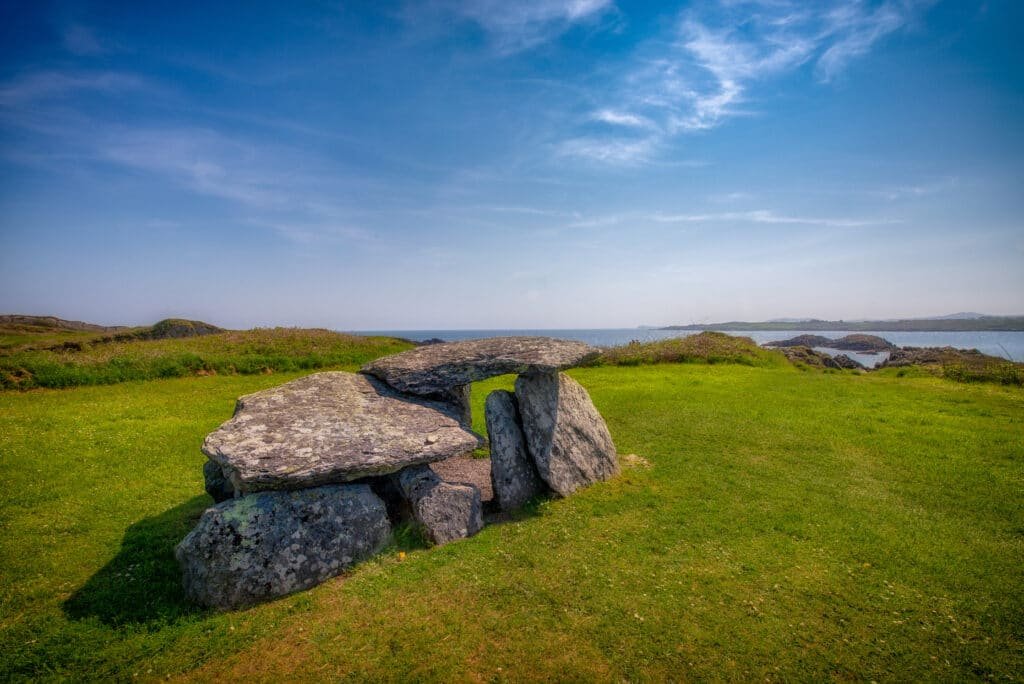
The Mizen Peninsula, in Ireland’s south west, is a unique journey and tip. It contains all of the particular features that distinguish the Irish west coast – beautiful beaches, towering cliffs, charming fishing communities, and a spectacular light tower guarding the roaring Atlantic. Fastnet Rock, dubbed “The Teardrop of Ireland” because it was the last picture of Ireland that immigrants saw before setting ship for the New World, is home to Ireland’s tallest lighthouse, which stands at 54 metres.
The Wild Atlantic Way extends eastward towards Baltimore, where boats sail for the Roaring Water Bay islands. The Baltimore Beacon, a signal tower, provides a spectacular perspective of the bay’s islands. On the one hand, thanks to the Gulf Stream, this area has a pleasant temperature with abundant flora, but then on the other hand, it is open to nature.
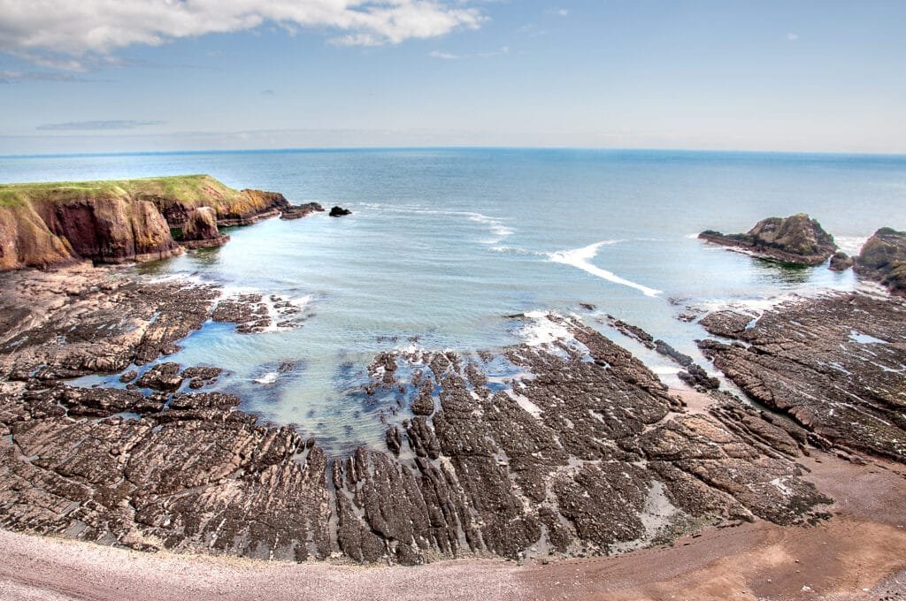
The Old Head of Kinsale is a tiny spit of land bordered by cliffs, with a lighthouse at its southernmost point. Because the property is owned by a well-known local golf club, this lovely dramatic promontory is largely appreciated by golfers.

